portola road scenic corridor
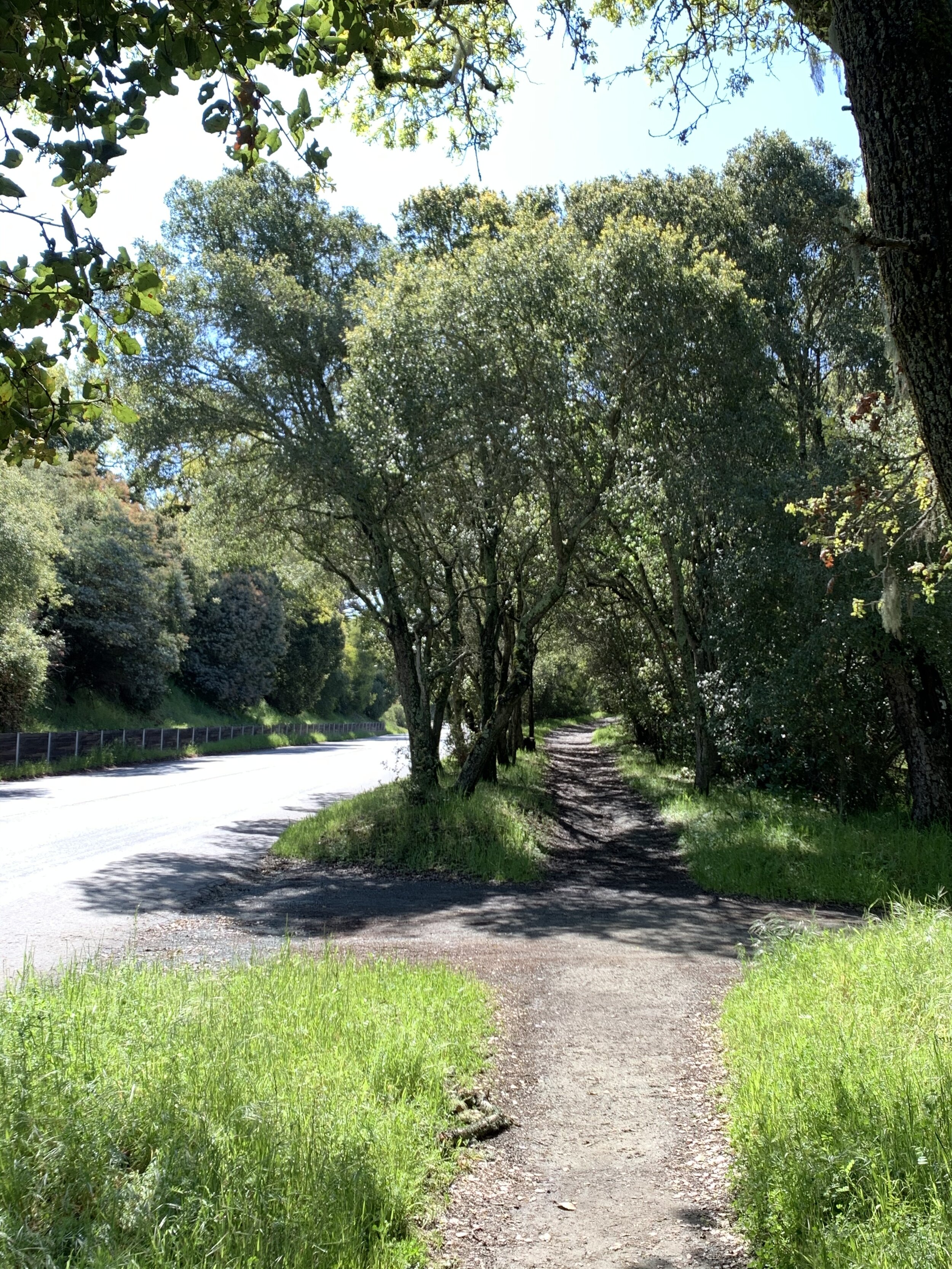
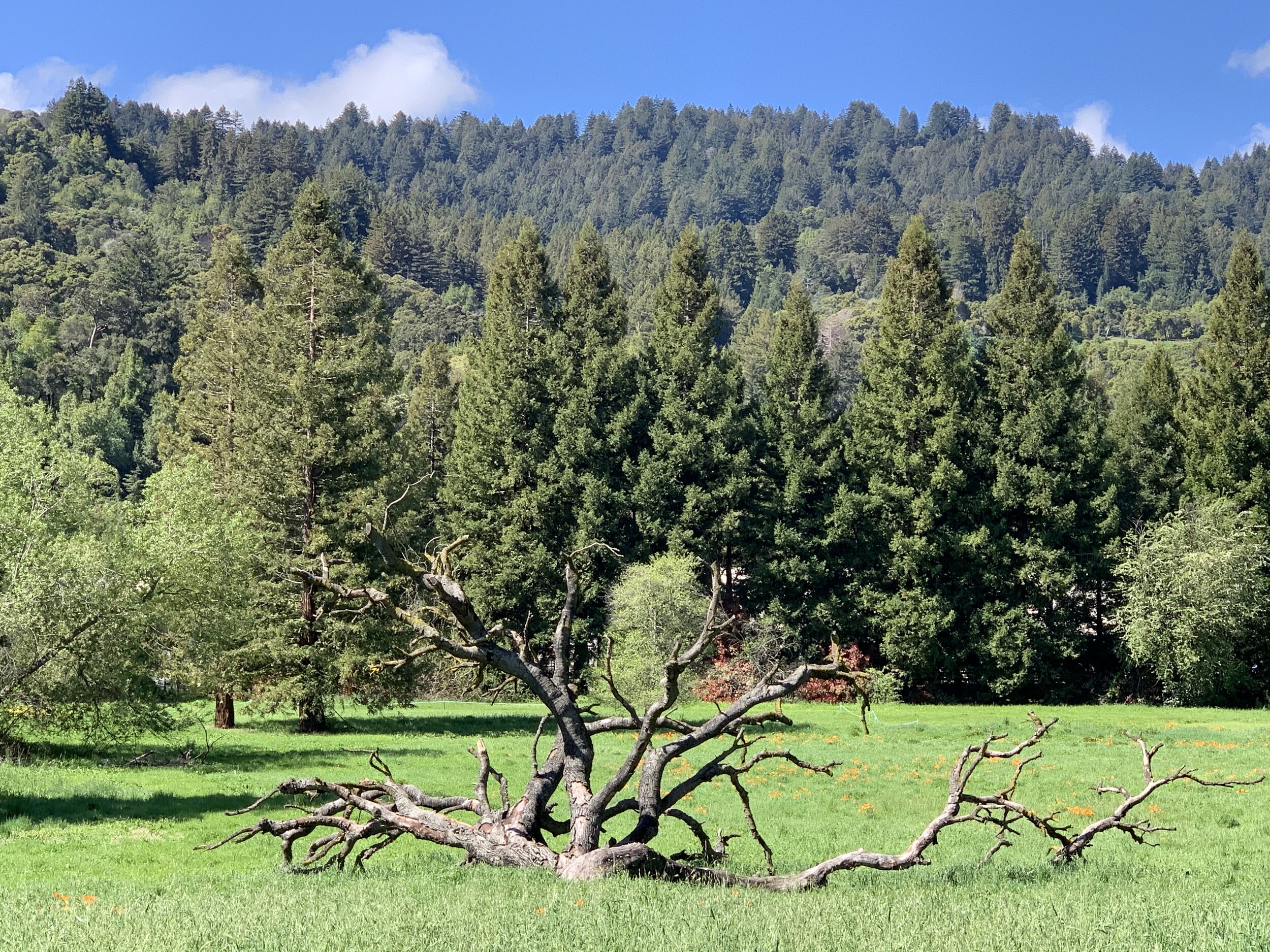
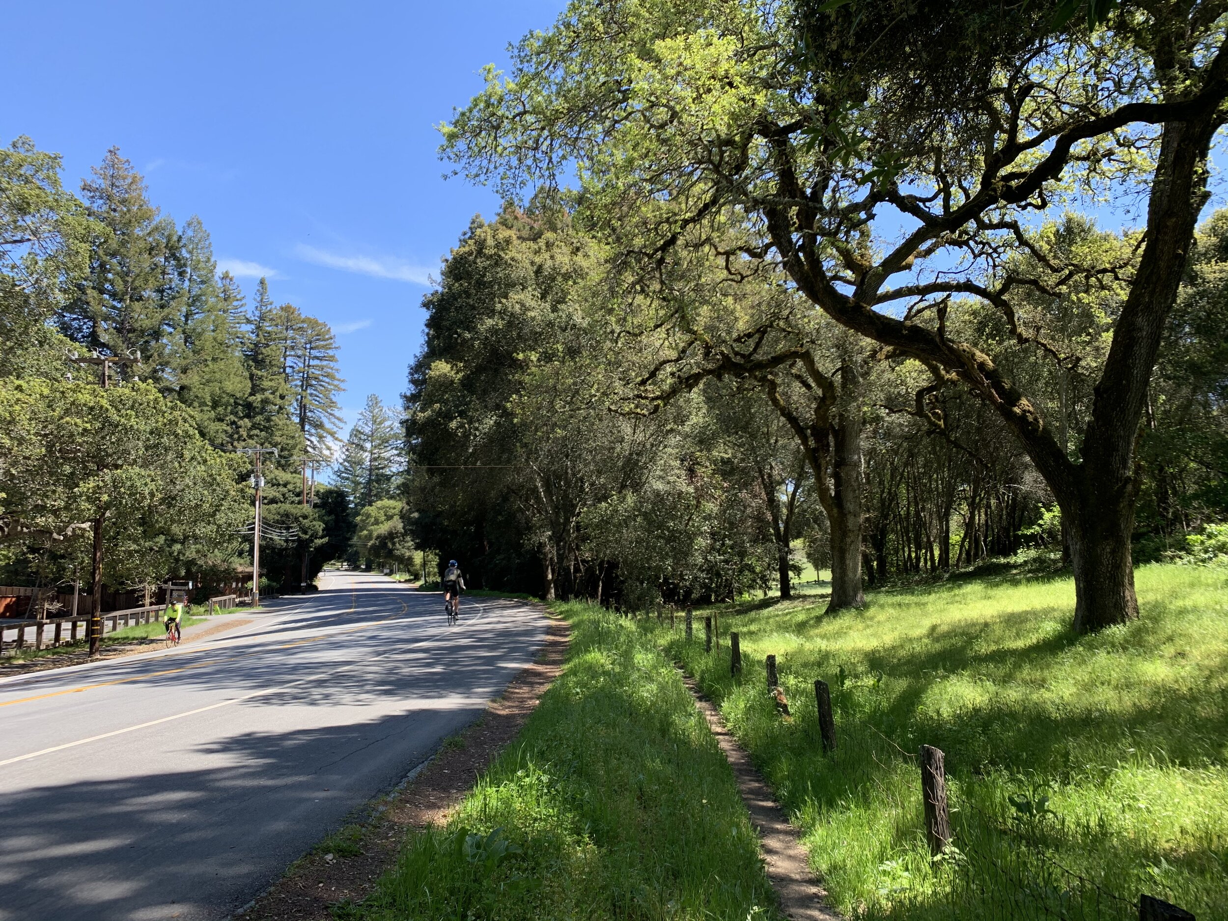
The Portola Road scenic corridor comprises Portola Road, the trail that parallels the road, and the lands immediately on either side of the road and trail. “Running along the floor of Portola Valley, this corridor is part of the area that helps define the visual character and quality of the community and is considered the ‘heart of the town.’”
“Immediate views and distant vistas within and from the roadway corridor define its character and underscore the open space and more rural values of Portola Valley as a whole. Therefore, management and treatment of both public and private lands along the corridor and the more critical viewsheds from the corridor should reflect the basic town values as set forth in this general plan. Landscaping, buildings and other land uses within and along the corridor need to be sited and designed to conserve the open and rural character.”
The Portola Road Corridor Plan provides “a comprehensive land use perspective for the entire corridor, sets forth the main objectives for it, and identifies principles and standards for guiding public and private actions to achieve plan objectives.” Those objectives are:
“To serve as a scenic corridor through the town that reflects the open space values of the town. Much of the area between the two more intense land use clusters is traversed by or near the San Andreas Fault and should therefore be kept in open space or low intensity uses.
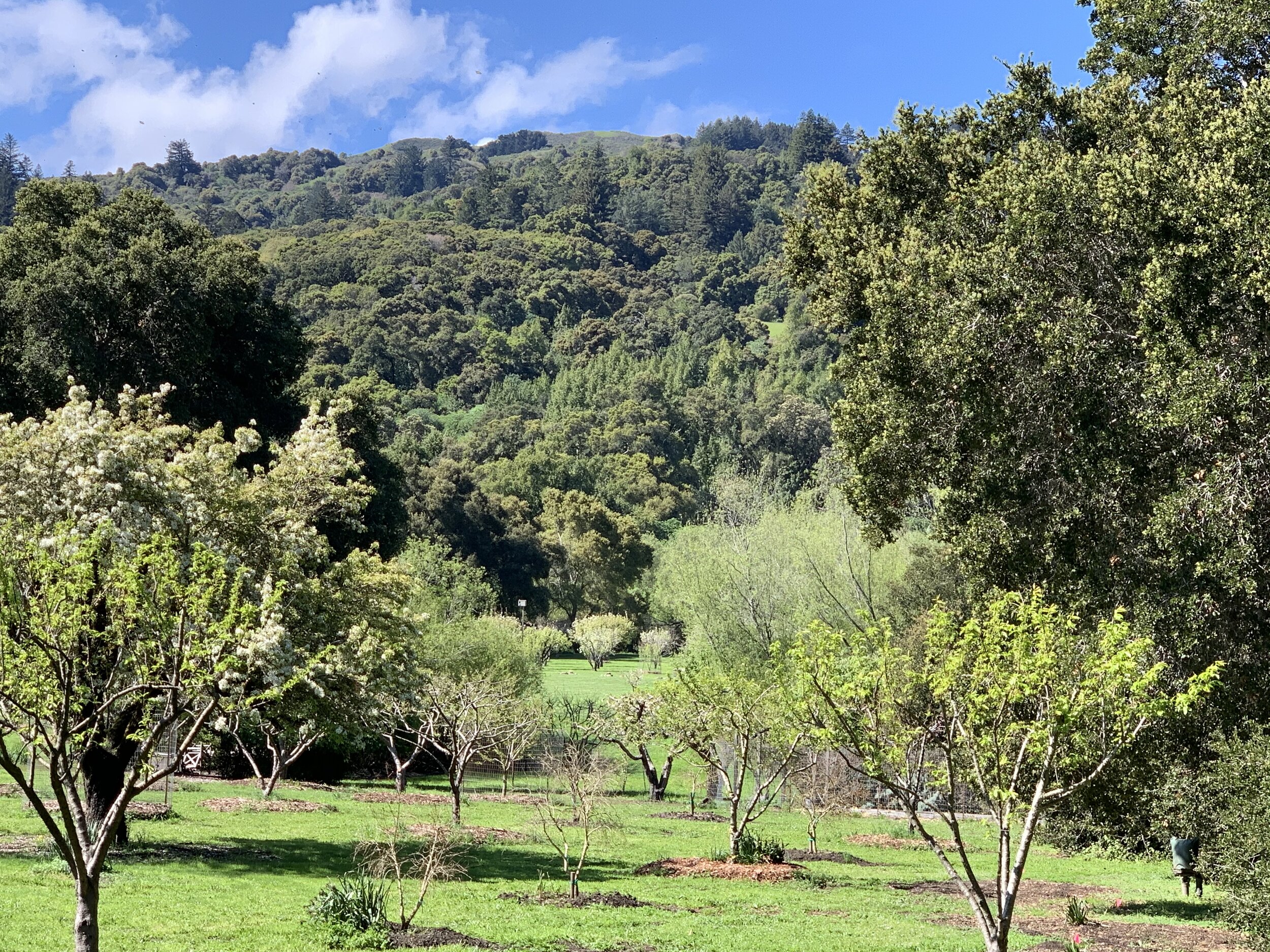
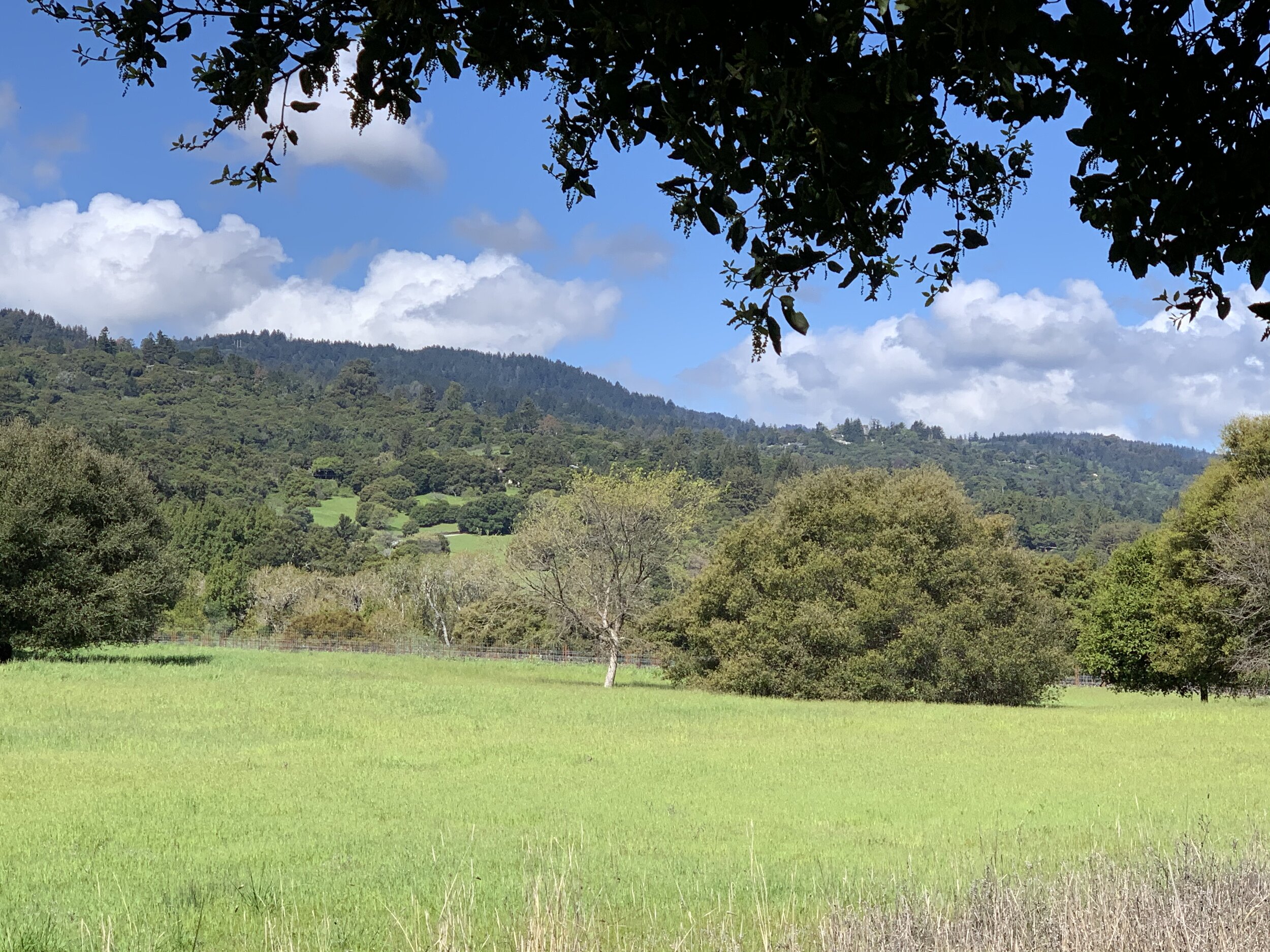
“To protect or reestablish open views within and from the corridor, especially to the western hillsides, wherever possible while preserving valuable habitat and variety of experience for all users.
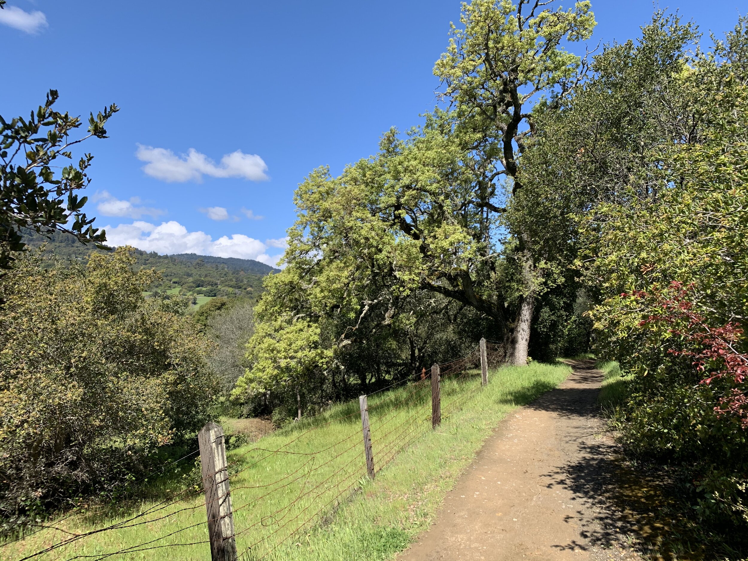
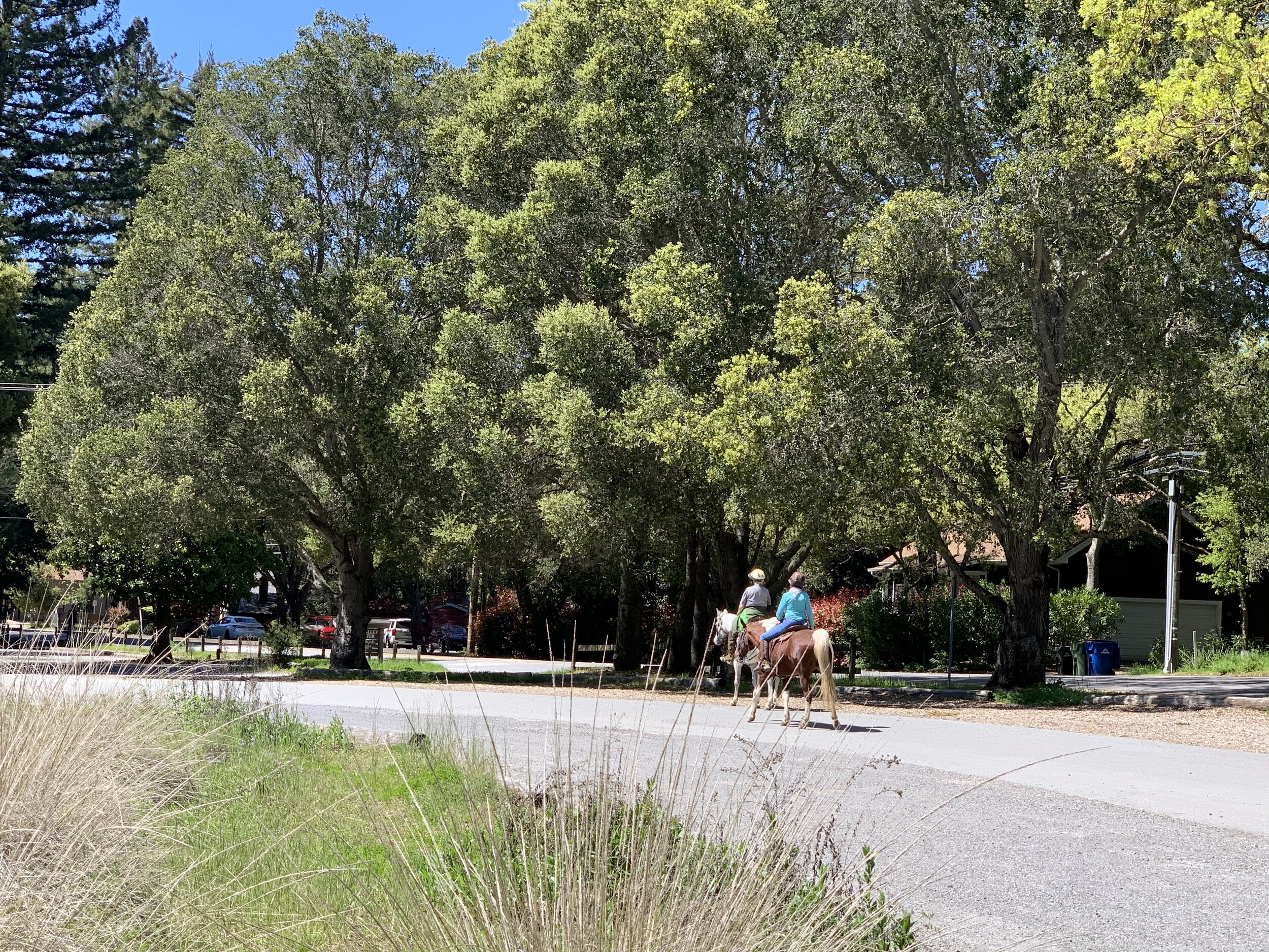
“To encourage more pedestrian, bicycle and equestrian use along the corridor, improve the experience for these users, and reduce local motor vehicle trips.”
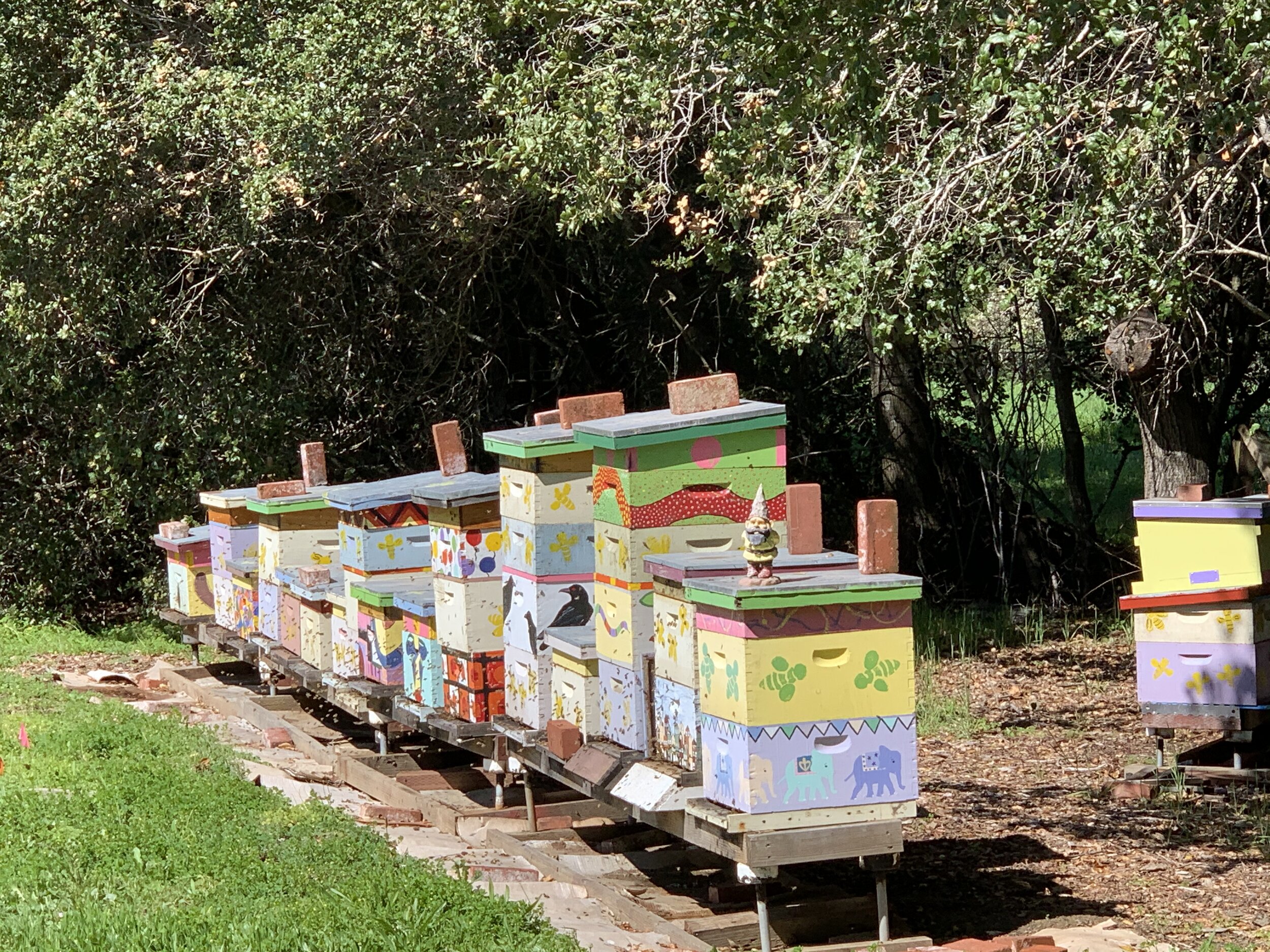
“To keep the corridor free of exotic invasive plants and promote rehabilitation of native ecosystems.”
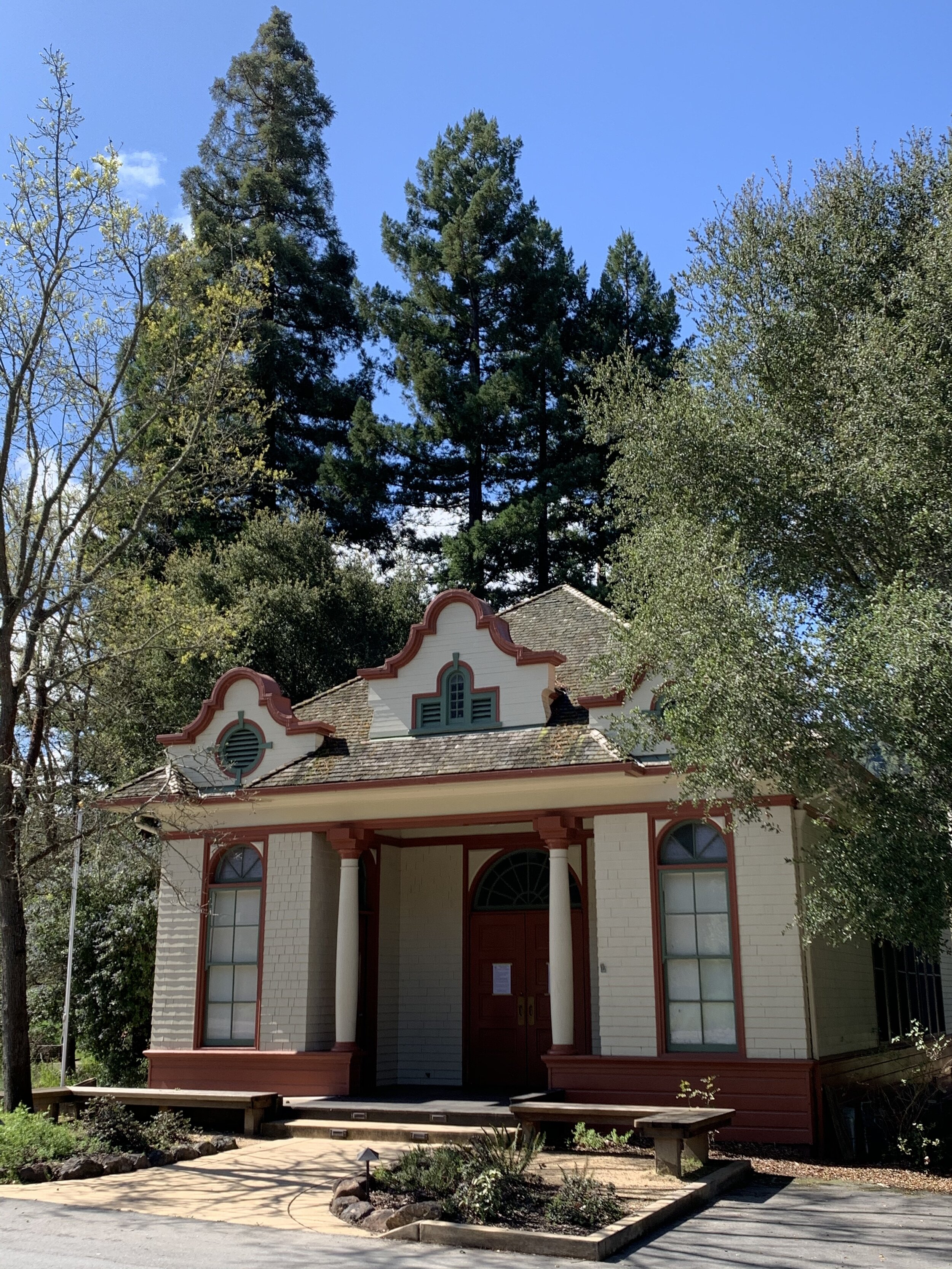
“To preserve, enhance and reinforce the identity of the town by providing for a unified design of the valley, with two clusters of commercial and civic facilities near the ends of the corridor as focal points that are linked by trails, open space and planting epitomizing the natural quality of the town.”
In pursuing these objectives, the plan sets out a number of principles, including:
“The town should actively pursue acquisition of properties or other property rights, such as conservation easements, from willing property owners, to preserve and enhance the most sensitive views of the western hillsides and achieve the other objectives of this element.
“Parking along the shoulder of the road should be discouraged using measures that are as unobtrusive as possible and do not impede the movement of bicyclists, equestrians, pedestrians and other users or affect the visual character of the roadway corridor.”
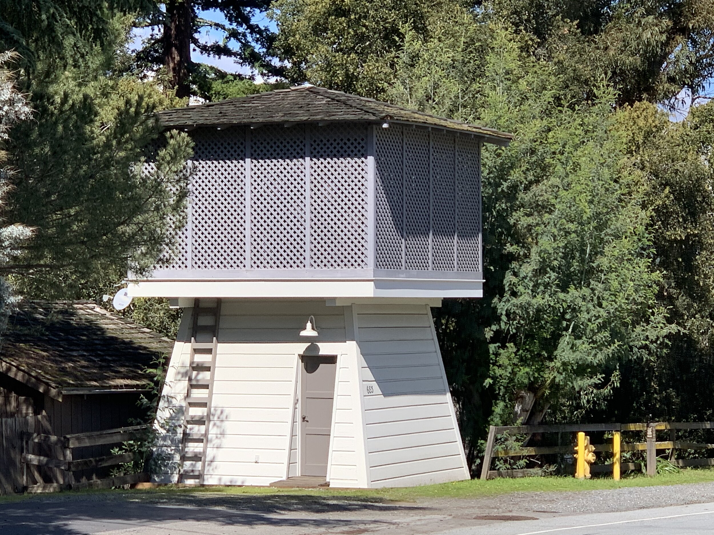
“Land within the corridor should continue to be zoned and otherwise managed to promote open space and enhance scenic quality. Special consideration should be given to building size, design and setbacks along this road.”
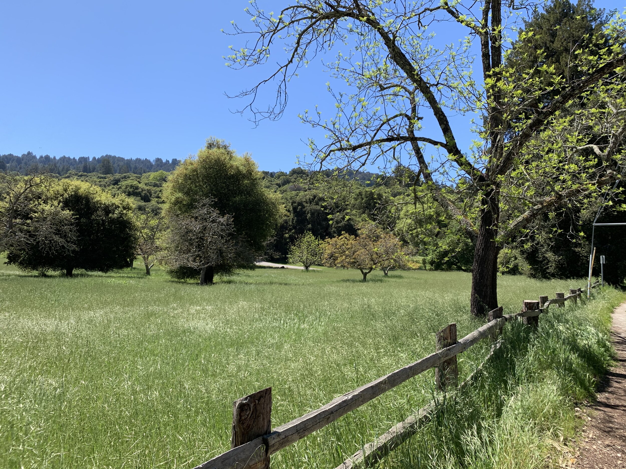
The plan notes that the western edge of the corridor between Willowbrook Drive and the Town Center provides some of the most magnificent, defining views from the town.
“In this segment, larger parcels, some of which extend from the road up into the western hillsides towards the Skyline scenic corridor, are located on the west side of the corridor. The largest property on the western hillsides is the Windy Hill Open Space Preserve, which is owned by the Midpeninsula Regional Open Space District, while other properties are in private ownership. In addition, this area includes lands closer to the road which are identified for Community Open Space Preserves in the Open Space element. The west side of the corridor along this segment provides some of the most magnificent view in town. The Town will need to manage its lands along the right of way to protect and improve these views and should also work with both private and public landowners to take actions on their properties consistent with this Corridor Plan and other applicable elements of the General Plan. Where appropriate, the town should acquire land or other property rights, such as conservation or open space easements, from willing property owners, or should encourage designation under the Williamson Act.”