Alpine scenic corridor
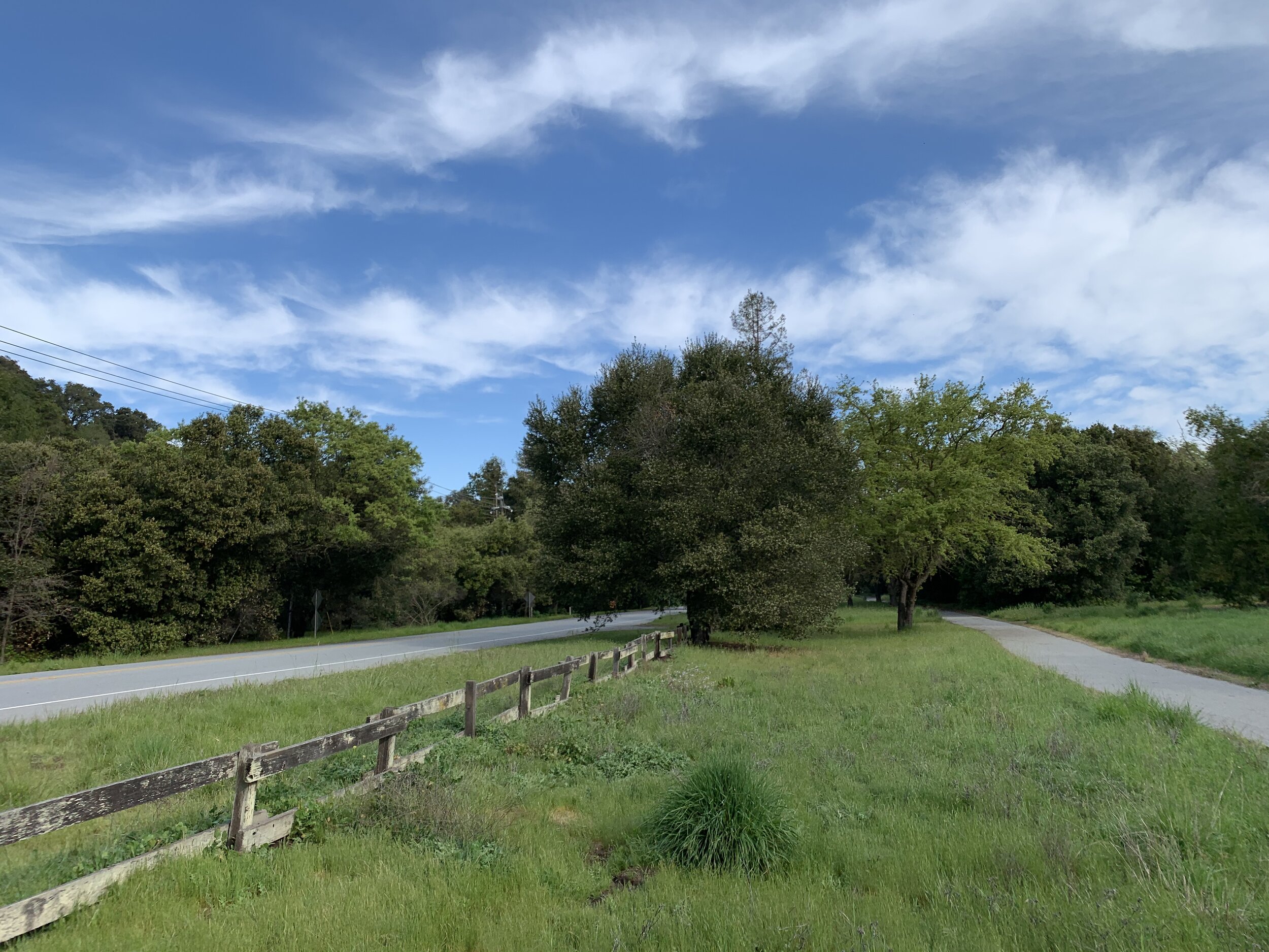
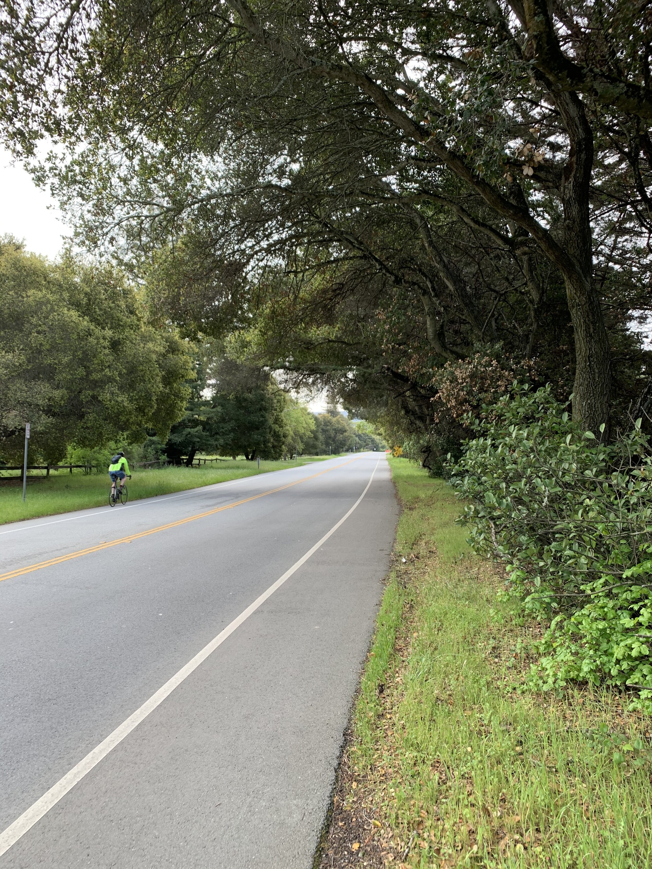
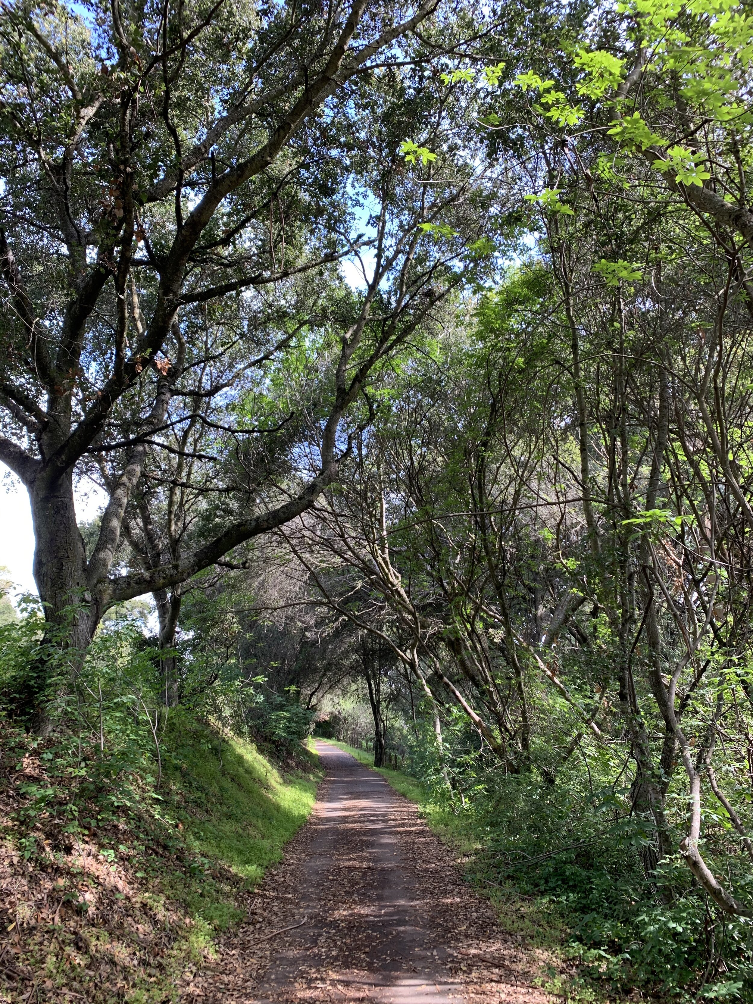
The Alpine Corridor extends nearly 10 miles from Santa Cruz Avenue in Menlo Park to the Skyline Boulevard summit.

Alpine Scenic Corridor, Plan Diagram
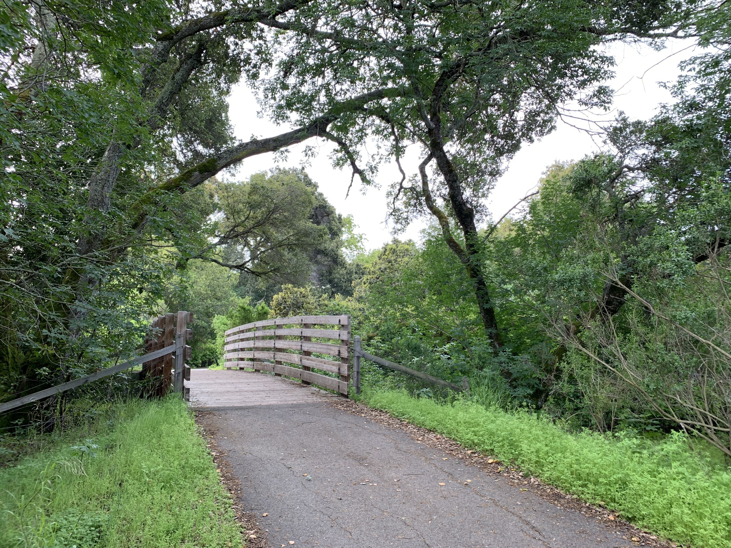
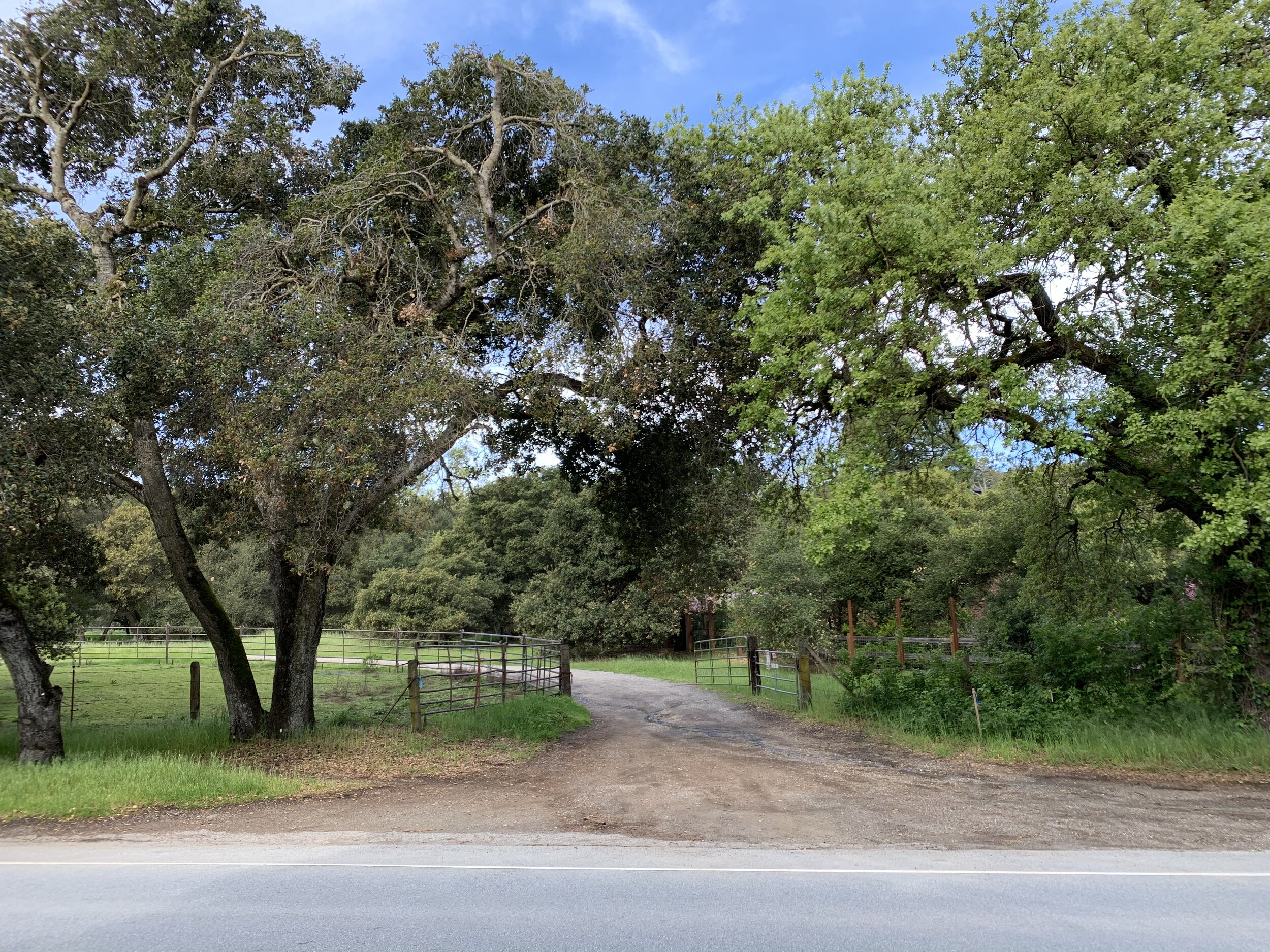
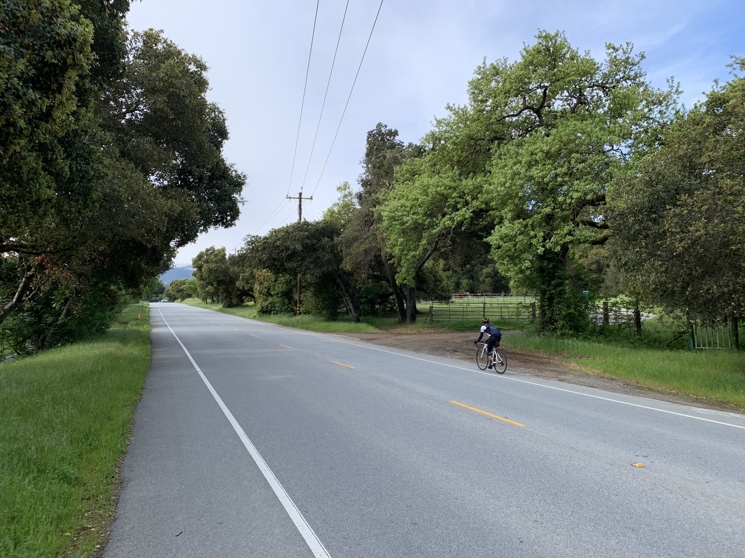
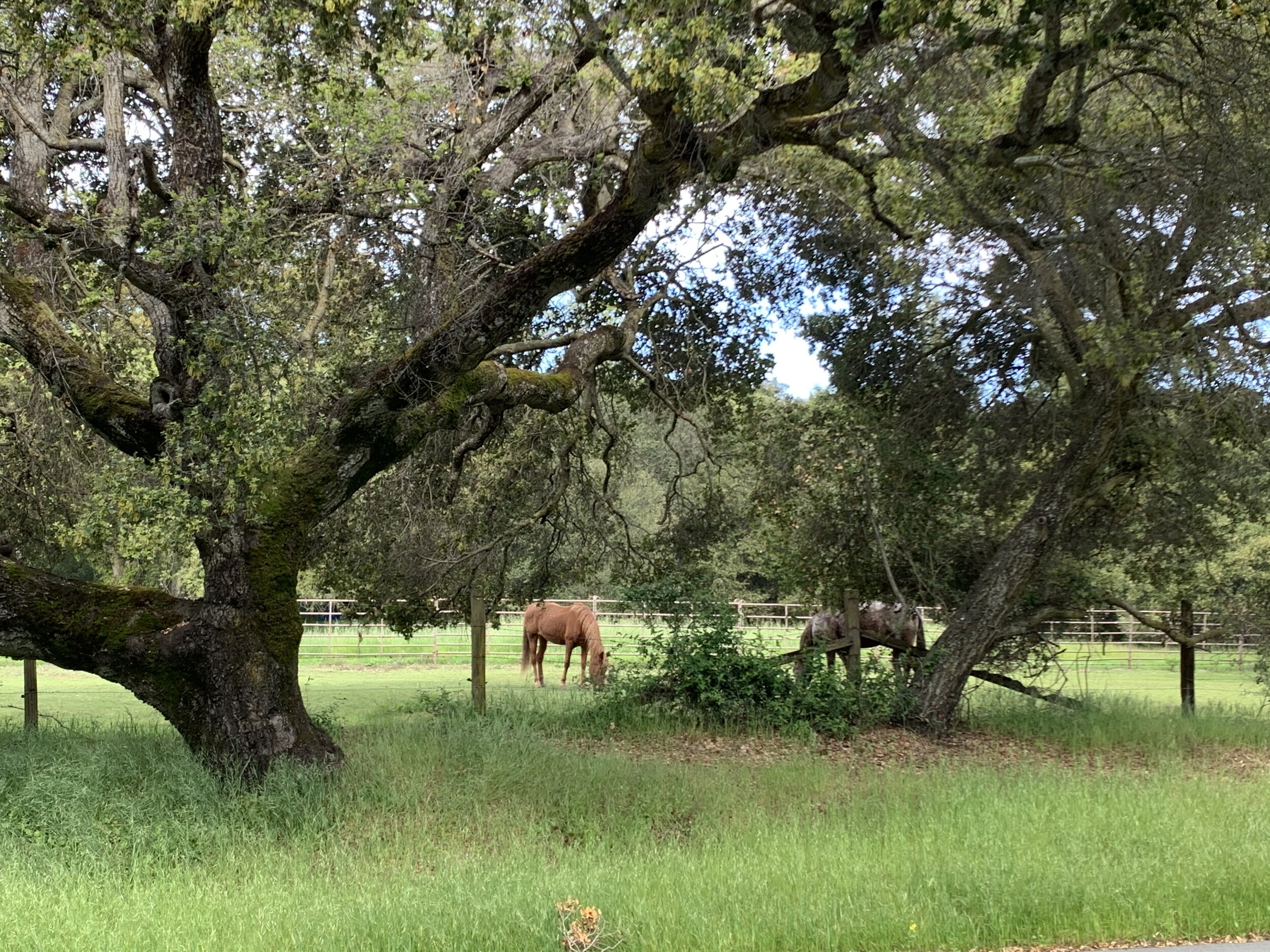
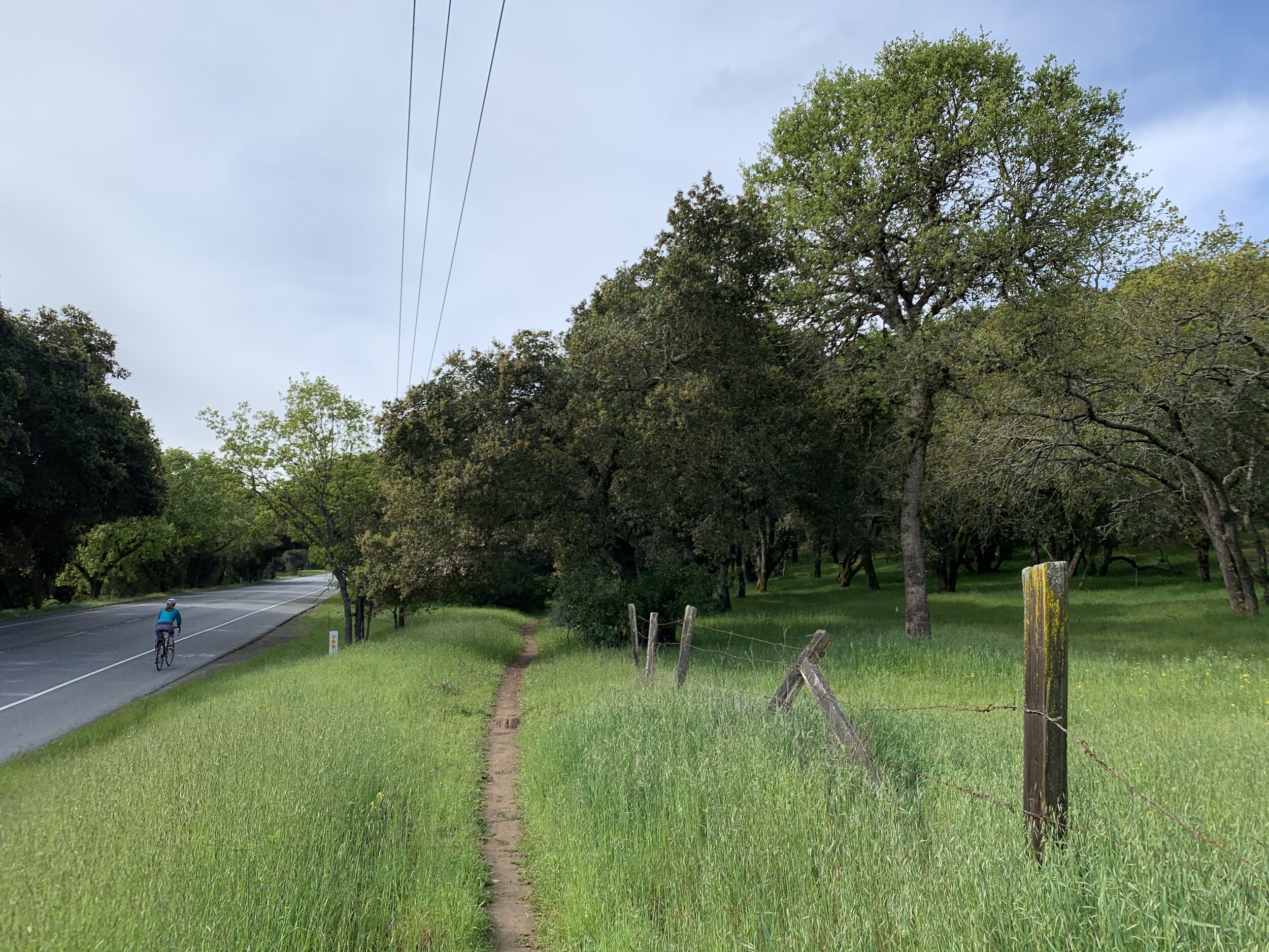
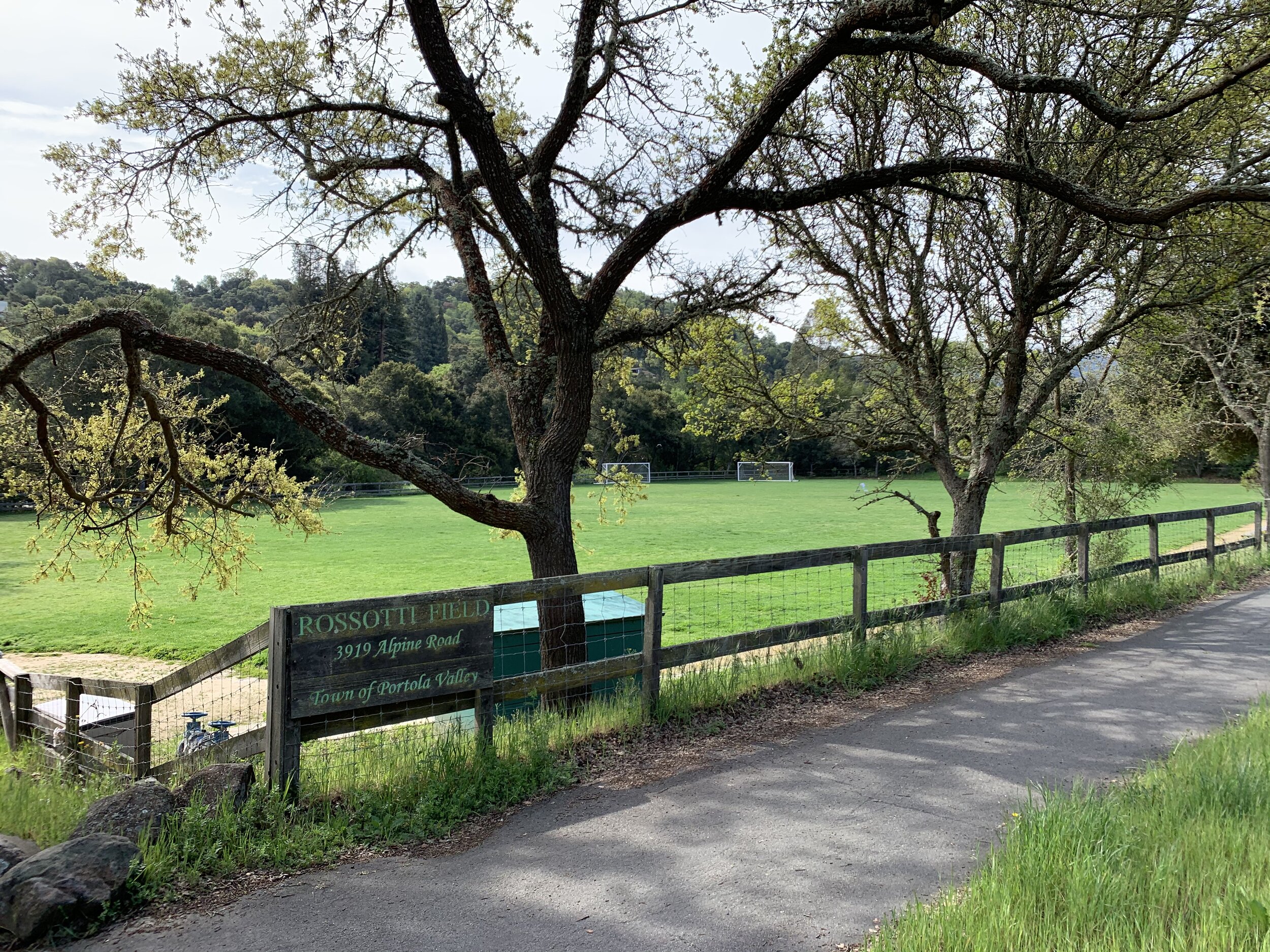
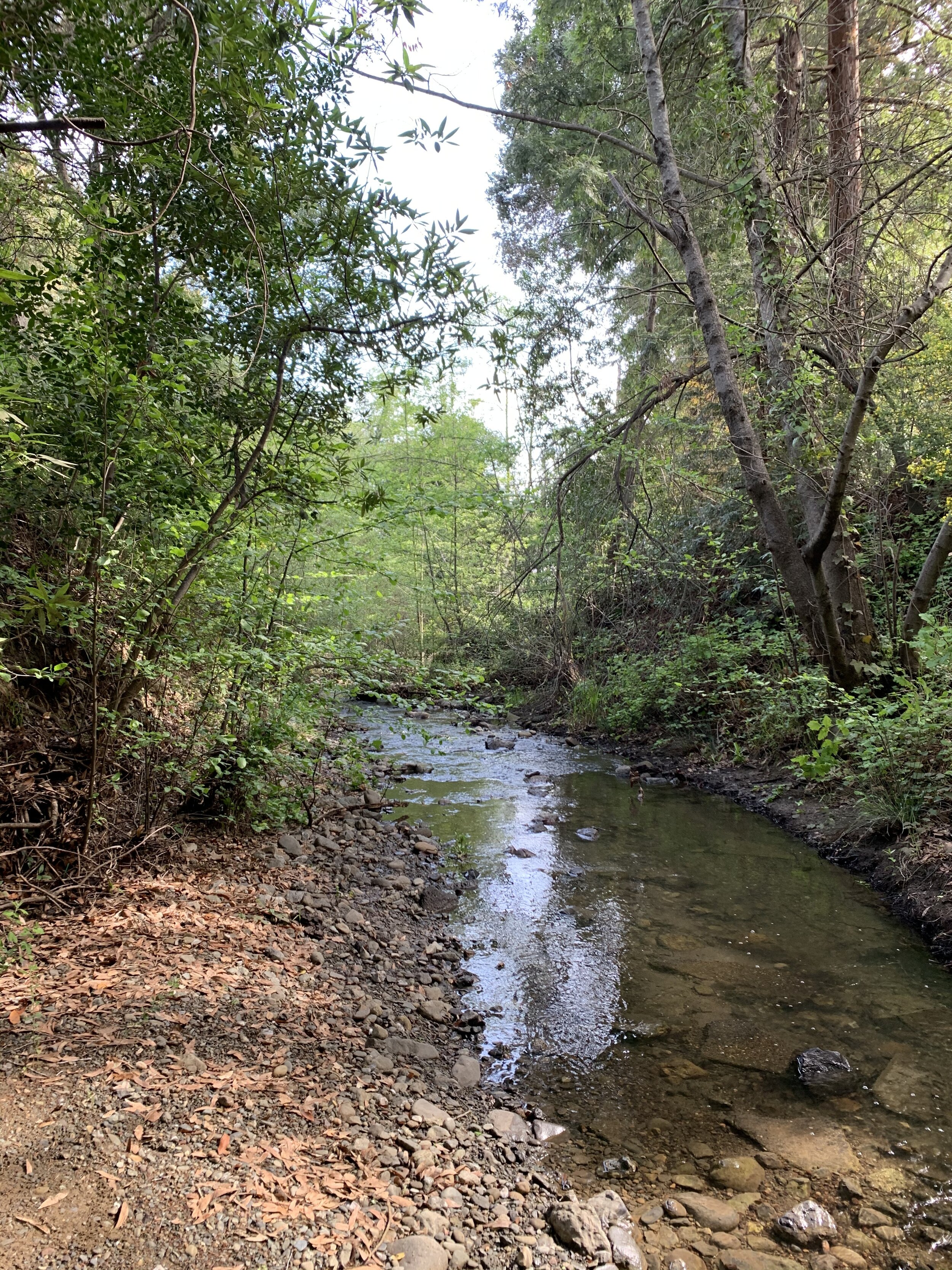
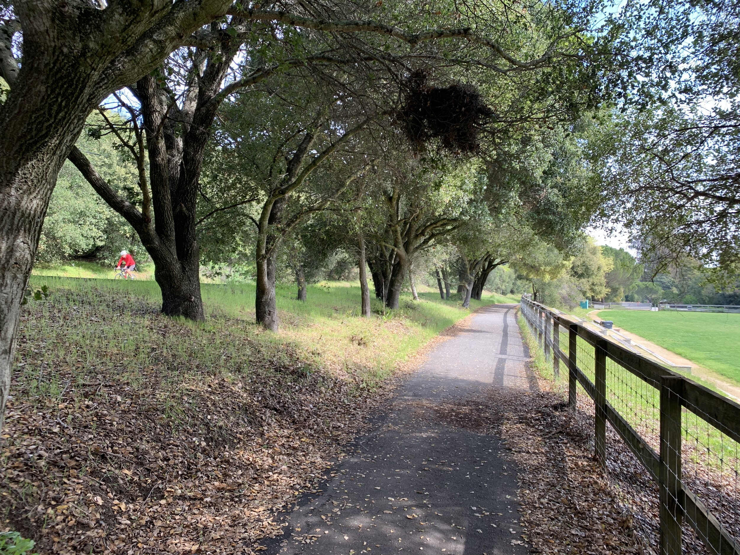
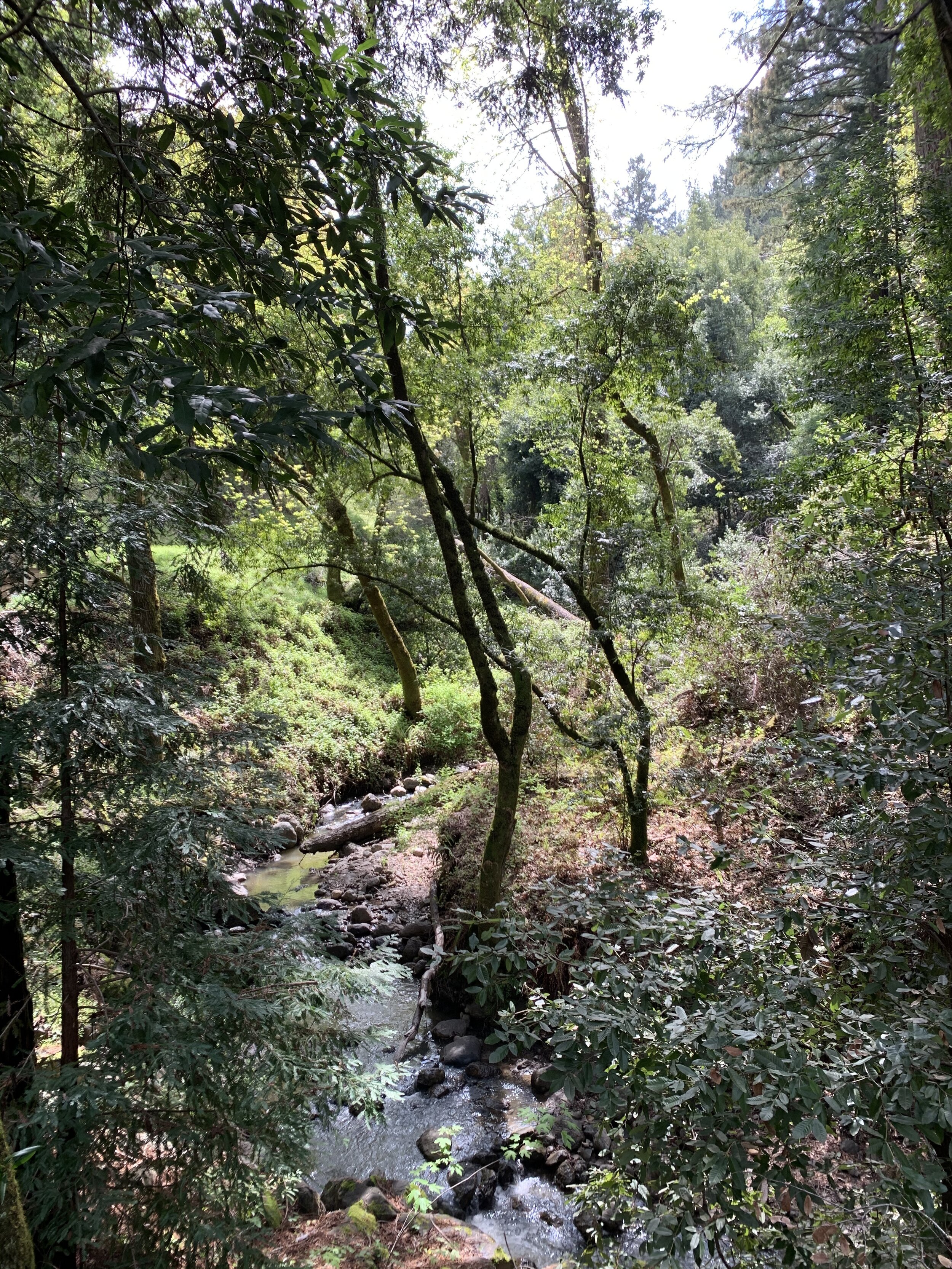
Following in succession three creeks (San Francisquito, Los Trancos and Corte Madera), the corridor integrates trails for hikers, equestrians and cyclists with grassland pastures, oak covered hills and steep wooded ravines and canyons providing magnificent vistas throughout its course. The Alpine Corridor Plan seeks to “retain the natural beauty of the scenic corridor as a welcome contrast with nearby urban centers,” and “preserve the intrinsic qualities of the creeks and creeksides of the San Francisquito Creek system.”
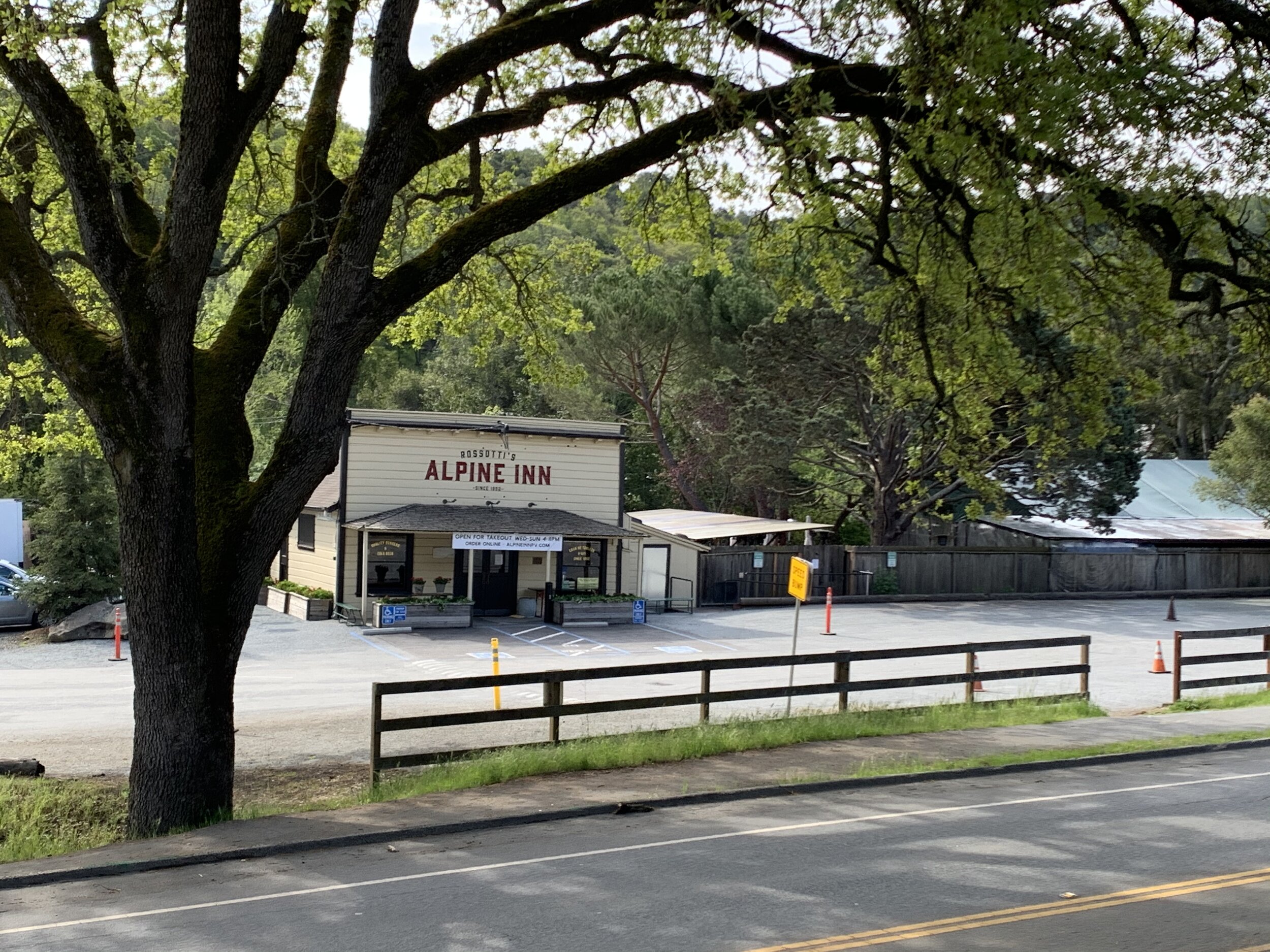
Rather than preserve and accentuate Portola Valley’s “welcome contrast” to the increasing urbanization of Palo Alto and Menlo Park, Stanford proposes to bring that urbanization to Portola Valley and prominently display it at the mouth of the Alpine Canyon in the midst of the Alpine Scenic Corridor.
The General Plan’s objectives for the corridor are clear and unambiguous:
To establish the San Francisquito Creek system as an important element in the Midpeninsula waterway system
To retain the natural beauty of the scenic corridor as a welcome contrast with nearby urban centers
To preserve the intrinsic qualities of the creeks and creeksides of the San Francisquito Creek system
To provide for the use and enjoyment of the creeks, valleys and canyons along the corridor in a manner consistent
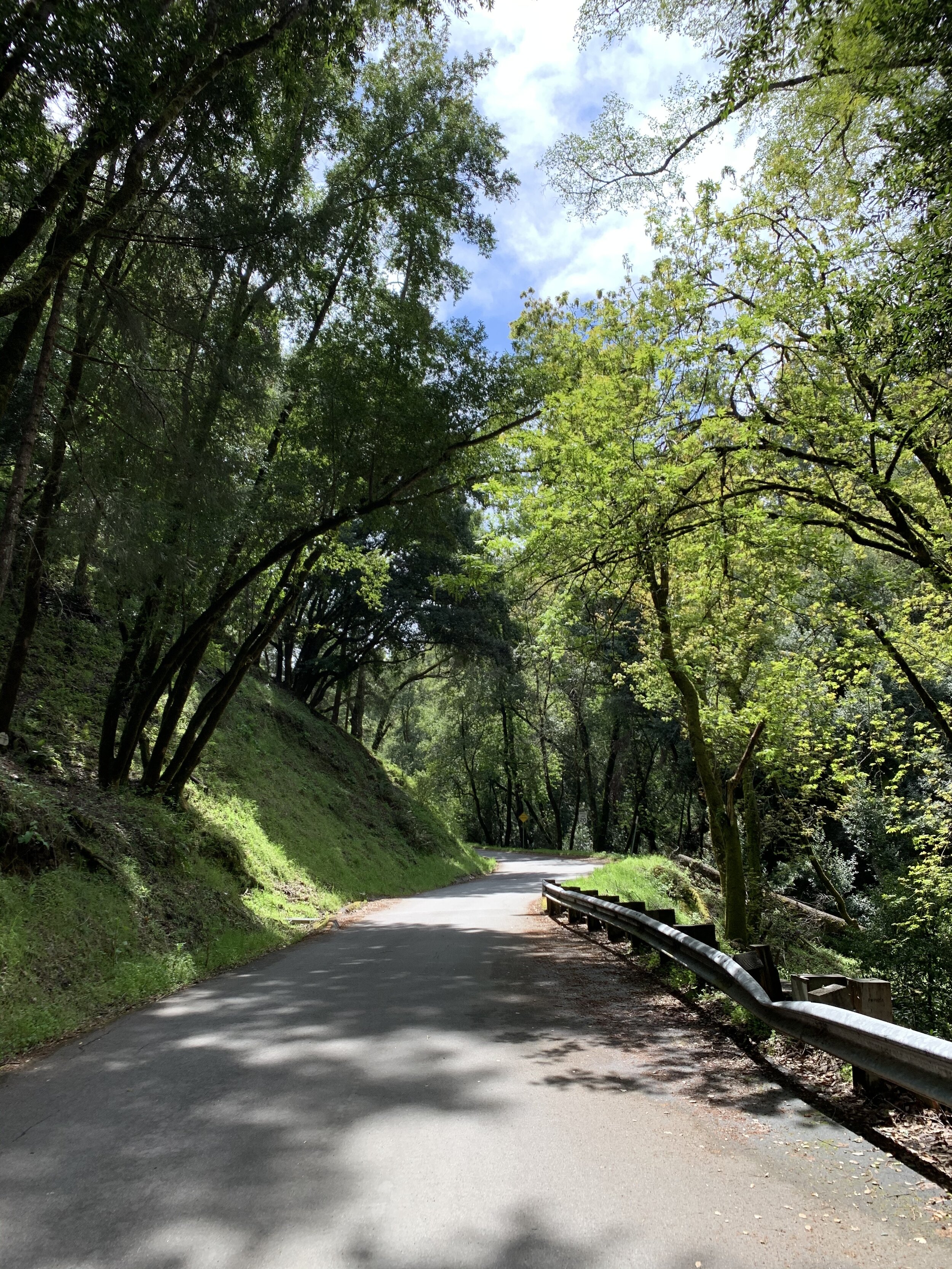
The General Plan identifies the watershed landscape along Alpine Road as a major unifying element of the corridor. Because “the creeks and creekside trees, the valleys through which they flow, the canyons, the confining ridges and the mountain tops all relate to the watershed of the San Francisquito and its tributaries, including the Corte Madera and Los Trancos Creeks,” the Plan calls for limiting new points of access to Alpine Road to the maximum extent possible.
Setbacks along Alpine Road should be increased to reduce the feeling of encroachment on the road and the removal of trees or other native vegetation along the road should be “stringently” controlled. As to the steep wooded canyon and hillside forming the Stanford Wedge, the Plan calls for “extreme care” in design and construction if lands are developed in the future, but preferably maintenance of these lands as permanent open space “if possible.”
Four categories of topography along the road are called out for special concern: the creekside environment, the immediate roadside, the primary vista corridor, and the secondary vista corridor. “While all structures and modifications to the natural environment within the corridor are of concern, the degree of concern with details decreases with distance from the road.” The following concerns are specifically called out:
“Points of access to Alpine Road should be limited to the maximum extent possible.”
“All utilities along Alpine Road should be underground.”
“Building setbacks along Alpine Road should be increased as necessary to reduce the feeling of encroachment on the road.”
“Buildings and structures should be subservient to the natural landscape in design, materials and color.”
“Removal of trees or other native vegetation cover should be stringently controlled.”
The fact that Alpine Road is becoming an increasingly intense and important thoroughfare for traffic, provides all the more reason to take special care in its future development and protection.
“The lower portion of Alpine Road, from Junipero Serra Boulevard to Willowbrook Drive, is an essential traffic carrier for Portola Valley, but this function should be subordinated to the natural features within the scenic corridor to the maximum extent feasible. Protection of visual quality and mitigation of traffic impact in the corridor should be given highest priority.”
As to the steep wooded canyon and hillside forming the Stanford Wedge, “extreme care” should be taken in design and construction if the lands are developed in the future, but preferably they should be maintained “as permanent open space if possible.”