Land Use Element
The General Plan’s Land Use Element separately addresses land uses for residential areas, parks, recreational areas and open spaces as well as commercial and administrative uses. It seeks to maintain the natural character of the town, to provide for park, recreational and open spaces in appropriate scenic areas where the uses will be compatible with the residential nature and quality of the town, and to minimize the need for non-local traffic to penetrate the town.
“The planning area should have the low intensity of development which is appropriate to its location on the fringe of the urban area of the Peninsula and should provide a transition between urban densities of adjoining communities and non-intensive land uses west of the skyline.”
Where feasible, the Land Use Element encourages development proposals that “incorporate unified planning for the largest land area practically possible in order to preserve open space, conserve unique natural features of the area, allow logical extensions of the trail and path system, maximize the opportunities for controlling the extent and impacts of development and otherwise help ensure the application of good land use planning.”
The Town’s over-arching land use objectives are:
“To provide for residential uses and related facilities that will preserve and enhance the quality of living enjoyed by local residents
“To maintain the natural character of the planning area and to provide for limited park, recreation and open space uses in appropriate scenic areas where the uses will be compatible with the maintenance of the residential nature and quality of the planning area
“To minimize the need for non-local traffic to penetrate the planning area
“To minimize the need for non-renewable sources and to encourage the use of renewable energy sources while preserving the scenic and aesthetic qualities of the area
“To encourage and, where appropriate, require the conservation of water in new and existing developments and buildings
“To ensure that development in areas subject to geologic, fire and flooding hazards is controlled so that people and structures are not exposed to unacceptable levels of risk.”
Among the principles governing the Town’s general Land Use planning and policy, the General Plan calls for
Population densities “to be guided by considerations of topography, geology, vegetative cover, access to transportation and services, fire hazards, emergency access, impact on preexisting residential development and other factors.”
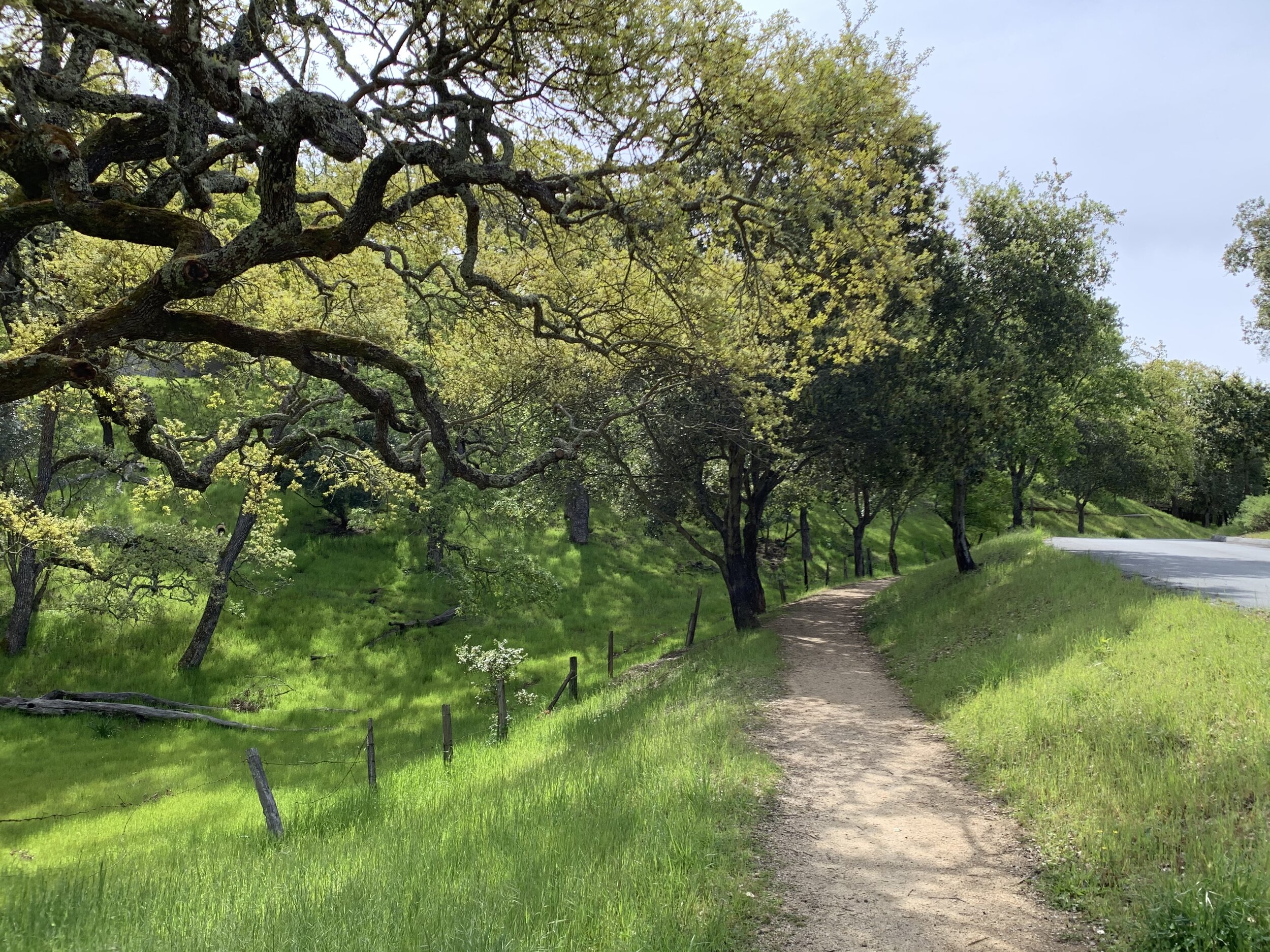
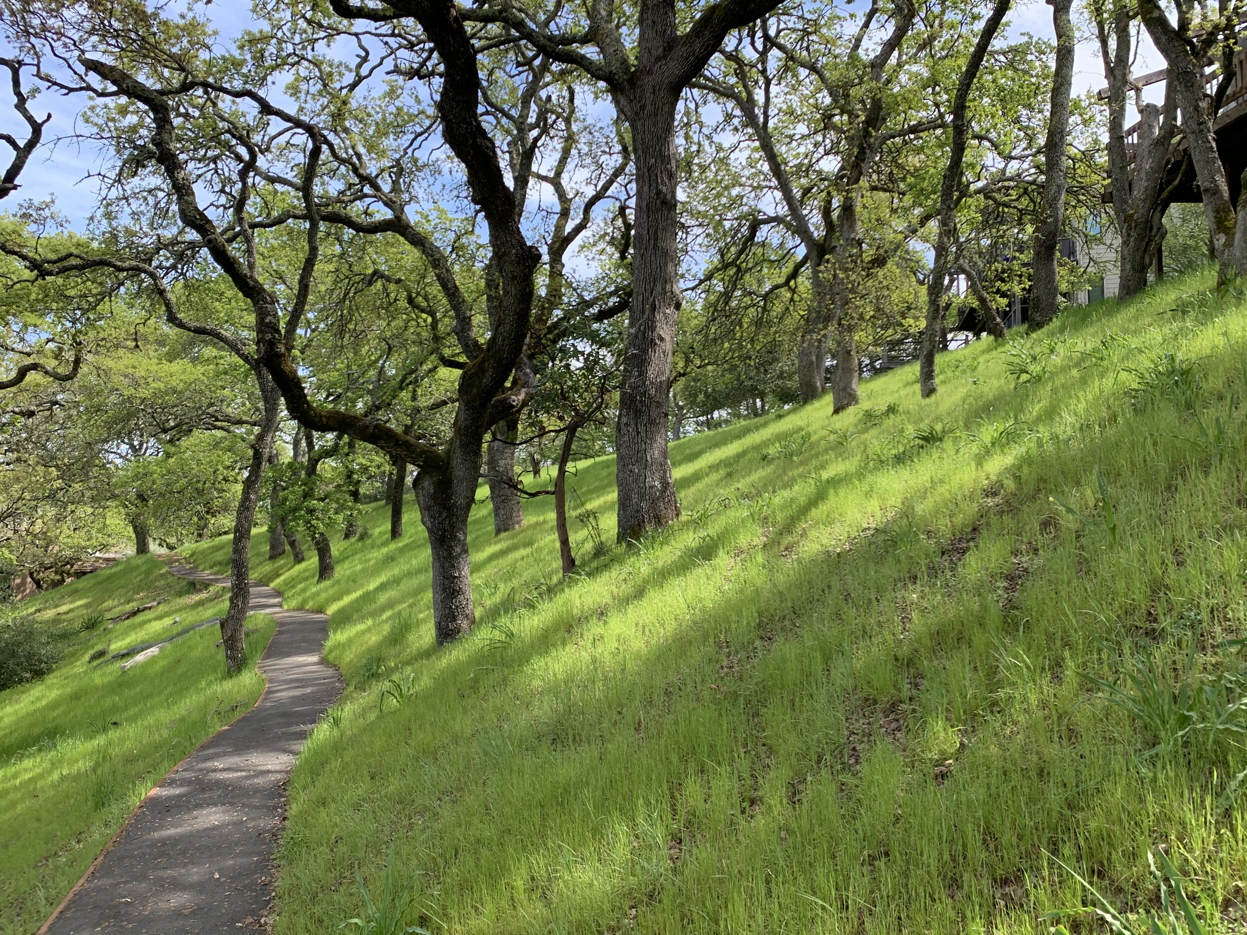
“Steep slopes, potentially unstable ground, canyons and ravines should be left undisturbed as residential open space preserves.”
“When residences are grouped or clustered in areas where intensity standards require one acre or more per dwelling unit … [c]lusters should generally consist of a small number of detached residences, and each cluster should be well-separated from adjacent clusters rather than interconnected in a linear form.”
“Structures may be located in existing tree covered areas to the extent possible and still be consistent with slope, geologic and related conditions and the need to preserve locally unique or especially beautiful wooded areas.” “In all residential areas of the town, or its spheres of influence, particular attention must be given to the effects of approaching the maximum amount of development permitted on individual parcels. The cumulative effect of buildout under appropriate ordinances and policies should be examined and steps taken to ensure that its effect will not be injurious to the unique and desirable characteristics of each area. Overall development levels as measured by floor area ratios and impervious surfaces should be limited so as to preserve the rural setting.”
Residential Areas. The Land Use Element classifies four categories of residential land use intensity and specifies the appropriate level of population and housing density for each classification.
The highest intensity areas are restricted to areas of already existing development. The conservation-residential intensity is assigned to less steep land close to community and circulation facilities and existing development. The open residential intensity is mostly applied to undeveloped lands with rugged topography, scenic qualities, remote locations, or extreme geologic instabilities.
The Land Use standards categorize the land-use intensity of the Meadow Preserve and the Stanford Wedge as “Conservation-Residential,” which includes land whose residential zoning requires 2 acres per dwelling based on level slopes to as much as 9 acres per dwelling on slopes of 50% or more.
For land within Conservation-Residential areas, the Land Use Element calls for population densities of 1.3 to .65 persons per acre.
“Land use intensity standards provide a guide for the intensity of residential development within which considerable flexibility remains as to design solutions. They indicate the maximum number of housing units to be permitted on a given piece of land but do not prescribe type of design in relation to a minimum lot standard. Specific conditions may require lower intensities.”
For example, the intensity of land development in the Residential-Conservation category should be further reduced beyond the slope intensity requirements of the zoning ordinance to address a particular site’s specific geologic conditions, minimize visual impacts, preserve scenic qualities or avoid high fire hazards and inadequate emergency access.
And while the density of population in multiple family affordable housing projects may be increased somewhat, the increase in density “shall not exceed 3 times the densities stipulated” for the zoning district in which the development is located.
Portions of some Residential-Conservation areas, such as Stanford’s land in the Alpine Canyon, are classified in the General Plan Diagram and the Land Use Element as “Residential Open Space Preserves.”
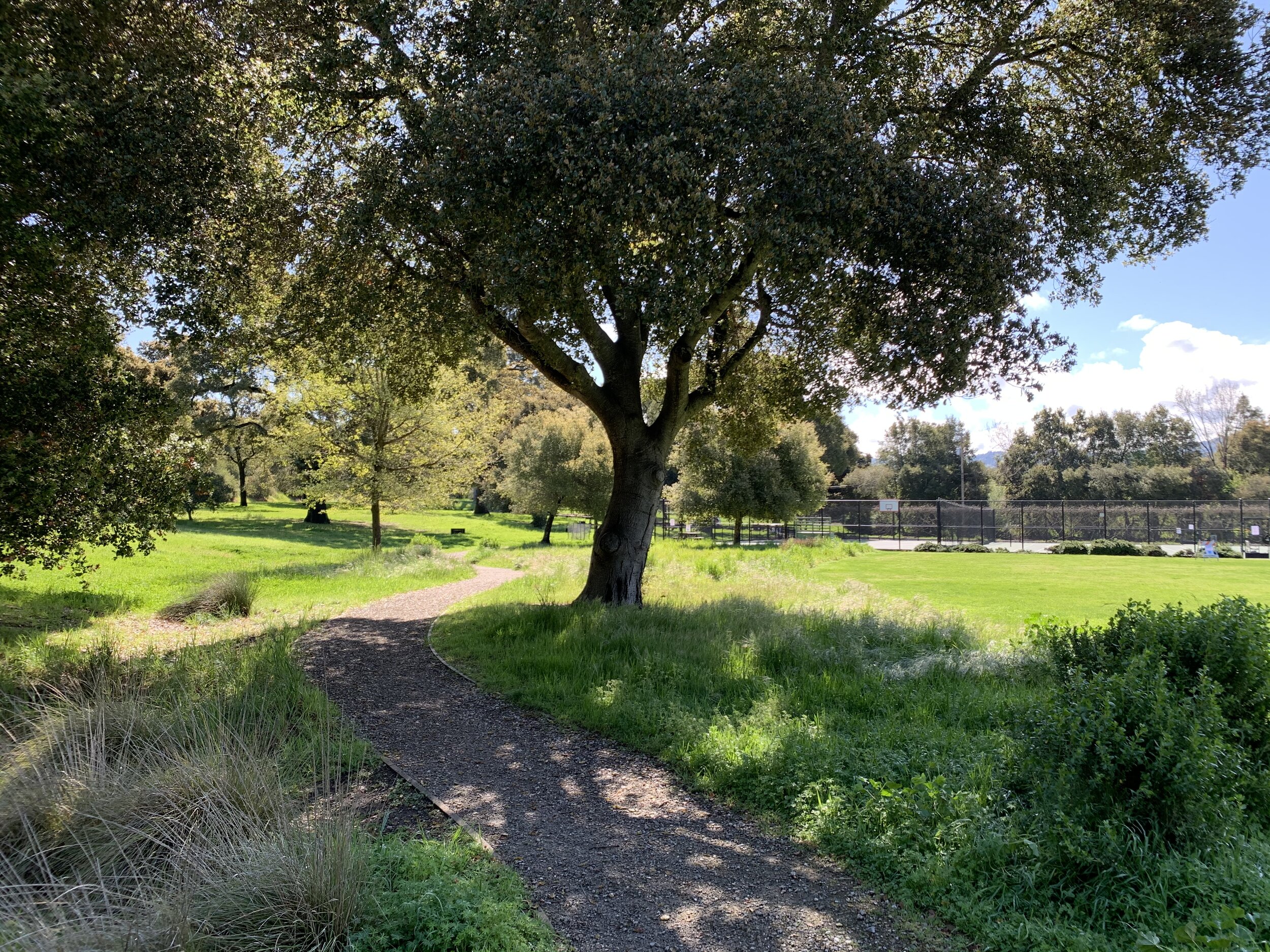
These lands — both public and private — typically have “slopes, canyons and ravines generally in excess of 30% in slope, unstable lands, lands of significant scenic value to the town, historic resources, riparian environments, and lands inaccessible without traversing potentially unstable lands.” To the maximum extent possible, the Land Use Element provides, “these preserves should be kept free of structures and left in a natural condition with respect to terrain and vegetation. New residential subdivisions should provide for clustering of residences outside of residential open space preserves so that these areas are left undisturbed for visual enjoyment and limited local use.”
Land designated as a Residential Open Space Preserve
“should be primarily a permanent open space, but should in addition accommodate a variety of recreational uses well suited to the natural terrain and which preserve the continuity of native vegetation. Such uses include riding and hiking trails, informal play areas, scenic walks, picnic areas, and residences subject to suitable conditions. These areas can be either privately controlled by the local property owners or held by a public agency.”
Within residential areas, the Land Use Element sets out the following objectives:
“To assure that all building sites and residences are developed in a manner minimizing disturbance to natural terrain and vegetation and maximizing preservation of natural beauty and open space.
“To organize residential areas in a manner providing maximum convenience in the daily use of local facilities such as parks, recreation area, commercial facilities and access to major roads, consistent with the attainment of other objectives within the general plan.
“To provide for the grouping or clustering of residential buildings where this will maximize the opportunity to preserve natural beauty, habitat and open space without generally increasing the density of development otherwise possible.
“To maintain the established character of established residential areas.
“To control the occupancy of parcels so as to:
“Prevent overcrowding of dwellings
“Insure that occupancy of land and dwellings will be in balance with service facilities such as on-site parking, traffic capacity of access streets and capacity of utilities such as water and sewage disposal
“Insure against adverse impact on neighboring residences
“Fix responsibility for use, occupancy and conduct on the premises in relation to town standards and requirements….”
The Land Use principles for residential areas include:
“Population densities within the planning area should be guided by considerations of topography, geology, vegetative cover, access to transportation and services, fire hazards, emergency access, impact on pre-existing residential development and other factors ….
“Steep slopes, potentially unstable ground, canyons and ravines should be left undisturbed as residential open space preserves.
“When residences are grouped or clustered in areas where intensity standards require one acre or more per dwelling unit:
“Each residence should have substantial direct frontage on a common open space of sufficient size to convey a feeling of being on the edge of a large and significant open space
“Clusters should generally consist of a small number of detached residences, and each cluster should be well-separated from adjacent clusters rather than interconnected in a linear line.
“On tree covered buildable slopes, development should be designed to preserve groves of trees as well individual trees and native understory to the maximum extent possible.
Finally, in all residential areas of the town,
“particular attention must be given to the effects of approaching the maximum amount of development permitted on individual parcels. The cumulative effect of buildout under appropriate ordinances and policies should be examined and steps taken to ensure that its effect will not be injurious to the unique and desirable characteristics of each area. Overall development levels as measured by floor area ratios and impervious surfaces should be limited so as to preserve the rural setting.”
Commercial Areas. Within areas zoned for commercial use, the Land Use Element sets out the following objectives:
To provide goods and services to satisfy the most frequently recurring needs of local residents.
To limit other commercial development to the maximum extent possible consistent with other objectives of the plan.
To group related facilities attractively for convenient use and to prevent continuous commercial development along arterials which would detract from the scenic character of the area.
To control commercial development in a manner that will minimize its impact on neighboring residential areas.
The General Plan diagram identifies the Town Center, Nathorst Triangle Area, Ladera County Shopper and Sharon Heights Shopping Center as four local shopping and service areas for the Town with sufficient area to meet the needs of local residents when the Town and its surrounds are fully developed.
“The two centers within the town, the Nathorst Triangle Area and Town Center, should strictly adhere to the objective that these centers should provide only those goods and services necessary to satisfy the most frequently recurring needs of residents of the town and its spheres of influence…. Uses which would attract a majority of patronage from outside the service area should more appropriately be located in larger and more centrally located commercial and office centers elsewhere on the Midpeninsula or the Bay Area.”